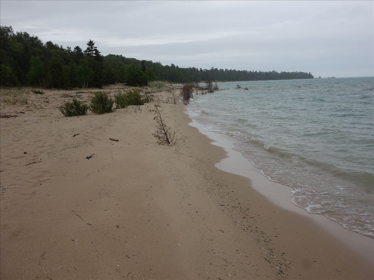
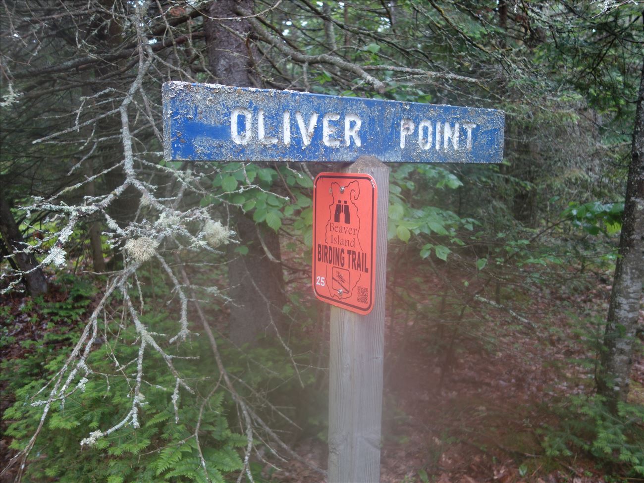
The point and land north of the point consist of a rocky beach, downed trees, and a treeline of conifers. The north end has a wide sedge meadow grading into a grass meadow. Historically, the area contained a settlement of Indians from the Grand Traverse tribe. The settlement was known as Peshabee Town. A foot path takes you from Oliver’s Point to Mrs. Reddings Trail.
![]()
GPS: 45° 39.94080, -85° 36.46860
Contact:


