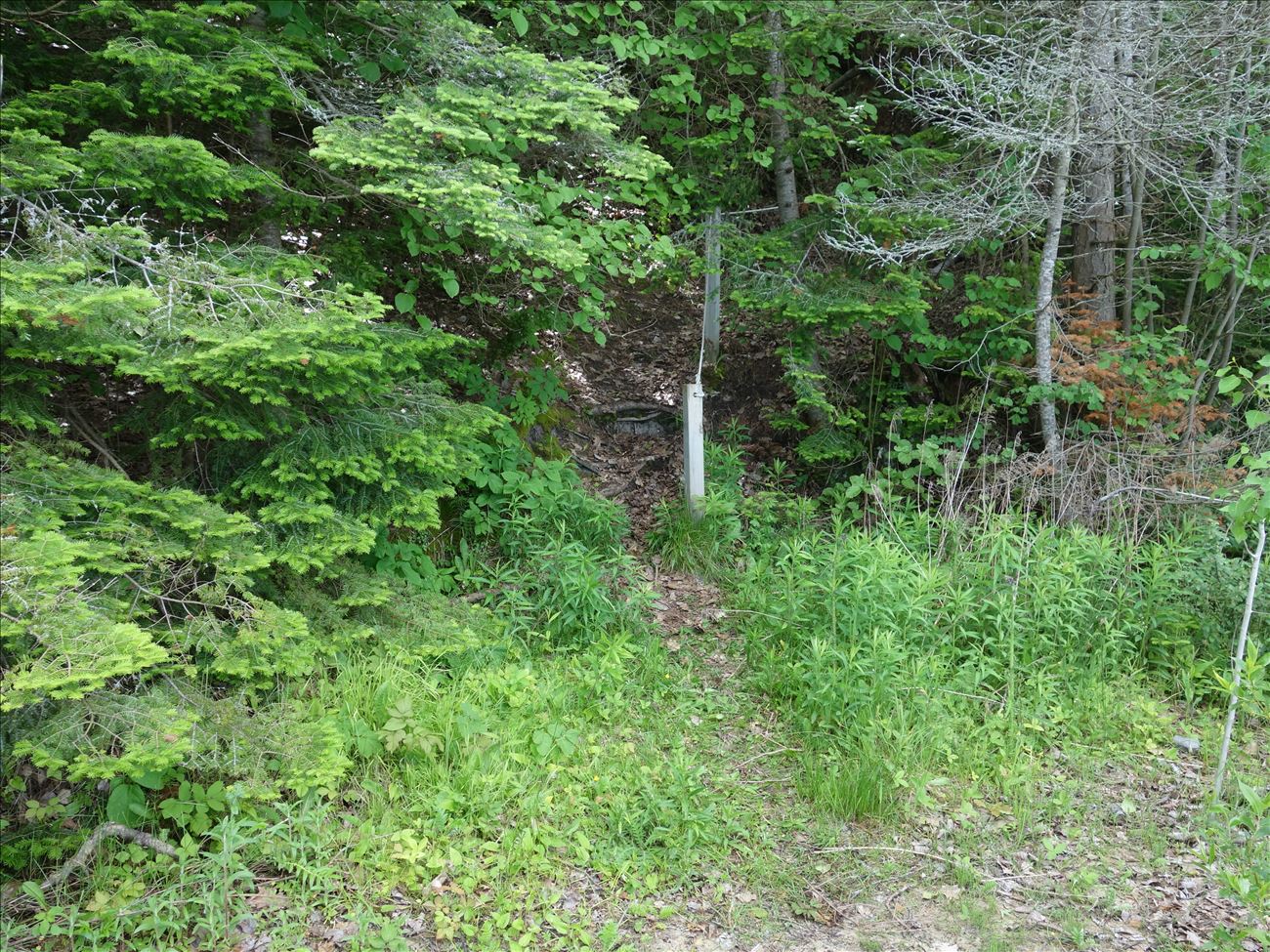
In the early 1990s, a portion of Martin's Bluff fell into Lake Michigan, leaving a steep sandy cliff. This cliff is now undergoing succession. The Wicklow Beach Access Road runs along the top of the sandy cliff, affording easy access. It is also the highest viewpoint of Lake Michigan on the east side of the Island, overlooking the Village of Goodhart in Emmett County.
![]()
GPS: 45° 37.73100, -85° 29.28000
Contact:


