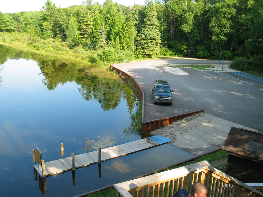
Access Type: Via Paved Road
Launch Type: Paved Boat Launching Ramp
Beach Type: Concrete
Beach Approach: Moderate Banks
Launch Hazards: Commercial/Recreational Boat Traffic
Facilities/Services:
- Restrooms (Pit)
Notes:
Large Parking Lot on Bluff Above Boat Ramp and River. Boat Launch is into River, it is About 1/4 Mile Out to Lake Huron from the Boat Launch, there is a Deck on the Bluff Edge Overlooking the River and Stairways Don to the Boat Ramp; the River is Slow and it May be Possible to Paddle Up River to the Dam
![]()
![]()
![]()
![]()


